
Campsites, dump stations and water near Riverton / Aparima
Southland, South Island
The closest DOC campsite is Lucky Beach Hunters Campsite, 40 km south. The nearest dump station is 640 m away.
Camp Spots NZ for iPhone. The same campsites, dump stations, water and toilets on your iPhone, with no signal needed.
Straight-line distances. Counted within 50 km for DOC campsites, 25 km for other campsites, 25 km for huts and 30 km for dump stations.
DOC campsites
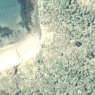 Lucky Beach Hunters CampsiteBackcountry, fees vary, check DOC, no car access40 km
 West Ruggedy Beach Hunters CampsiteBackcountry, fees vary, check DOC, no car access49 km
Within 50 km, nearest first. Fees and facilities are DOC's. Check DOC alerts before you go. Aerial: LINZ, CC BY 4.0.
Holiday parks and other campsites
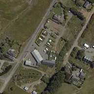 Riverton Holiday Park and Camping GroundSouthwest, holiday park, powered sites, caravans1.3 km
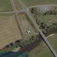 Thornbury Bridge Picnic AreaNortheast, campground9.1 km
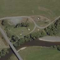 Thornbury Freedom CampNortheast, freedom camping9.2 km
 Colac Bay / Oraka camping areaWest, campground10 km
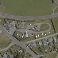 Colac Bay Tavern & Holiday ParkWest, holiday park, showers, caravans10 km
All 10 other campsites near Riverton / Aparima
Within 25 km. Freedom camping rules are set by each council, and most places need a certified self-contained vehicle. Since 7 June 2026 only green self-containment warrants count. Check local signs. Aerial: LINZ, CC BY 4.0.
Dump stations
Within 30 km.
Public toilets
- Princess Street ToiletIn Riverton / Aparima, free330 m
- Taramea Bay ToiletSouth1.6 km
- Riverton Rocks Bunker ToiletSouth, free2.1 km
- Public toiletSouthwest, free, hours: 24/72.3 km
- Howells Point ToiletSoutheast, free3.4 km
All 8 public toilets near Riverton / Aparima
Within 10 km.
Fuel stations
- McKeown RivertonFuel station, 24 h, diesel (in Riverton / Aparima)310 m
- G.A.S.Fuel station (southwest)730 m
- Fuel stationFuel station (northeast)13 km
- G.A.S.Fuel station (east)21 km
- Lornville motorsFuel station (east)26 km
All 21 fuel stations near Riverton / Aparima
Within 30 km. Fuel and LPG © OpenStreetMap contributors (ODbL). Coverage from OpenStreetMap volunteers is incomplete. Places that swap or refill gas bottles may be missing, and what a place sells can change. Call ahead if you need gas.
Rest
Within 30 km.
DOC huts


Within 25 km. Hut details are DOC's. Most huts are reached on foot.
Walks and tracks starting nearby
- Ports Water Race Track14 km, tramping track11 km
- Turnbulls Tramping Track11 km, tramping track13 km
- Round Hill Walking Track2.0 km, 1-4 hours, walking track14 km
- Martin's Hut/Merrivale Tramping Track19 km, tramping track15 km
- Pourakino Picnic Area Loop Track1.6 km, under 1 hour, walking track19 km
- Monkey Island Viewpoint0.0 km, walking track23 km
DOC tracks whose start is within 25 km. Times are DOC's.
Great Walks nearby
Other places nearby
Lists for the whole country
Location of Riverton / Aparima: LINZ NZ Gazetteer (Riverton/Aparima, town), CC BY 4.0. Campsite and hut data from DOC, 14 Nov 2026. Holiday parks, other campsites and facilities from OpenStreetMap, 14 Nov 2026. From OpenStreetMap, which volunteers build. It may be incomplete or out of date, so check signs on arrival.