Huts & Tracks NZ
Offline hiking & tramping map

Free to download. One-time unlock, no subscription.
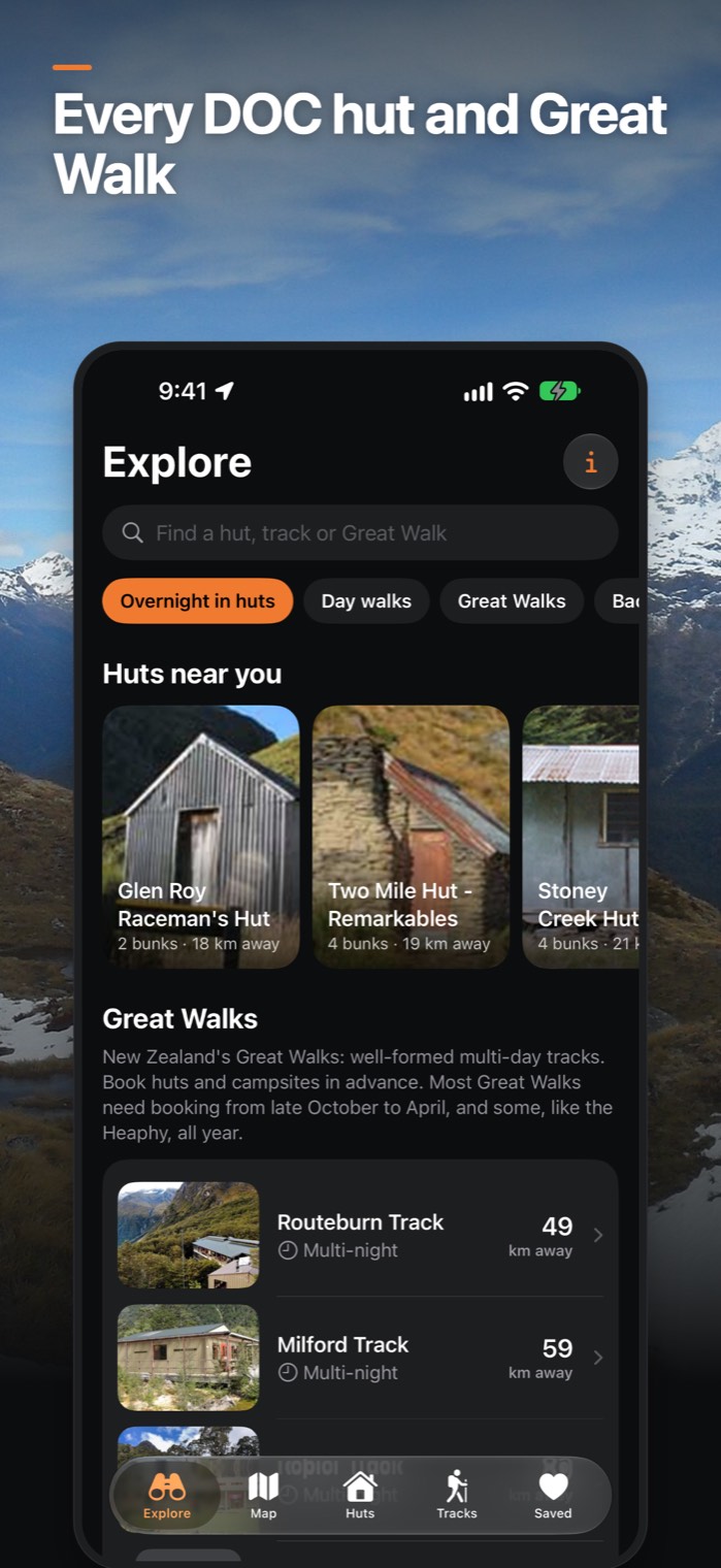
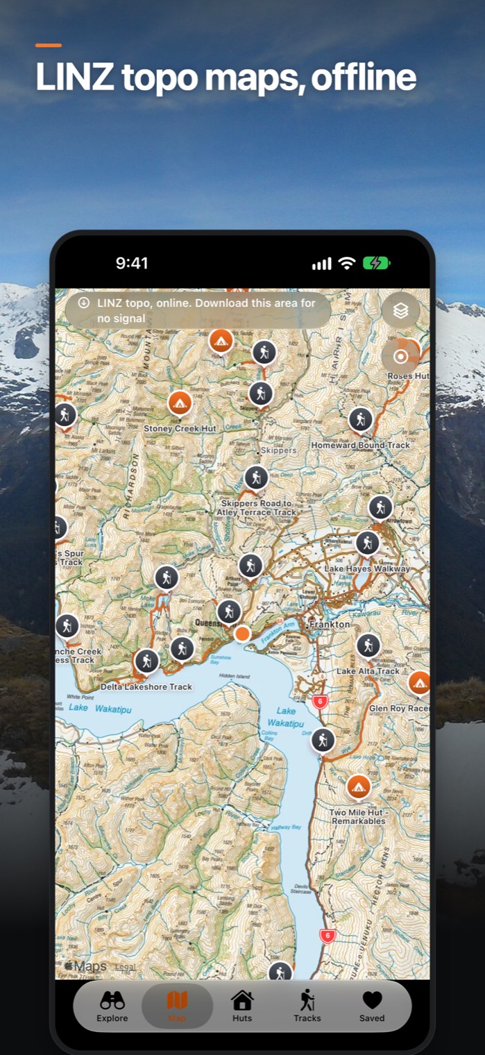
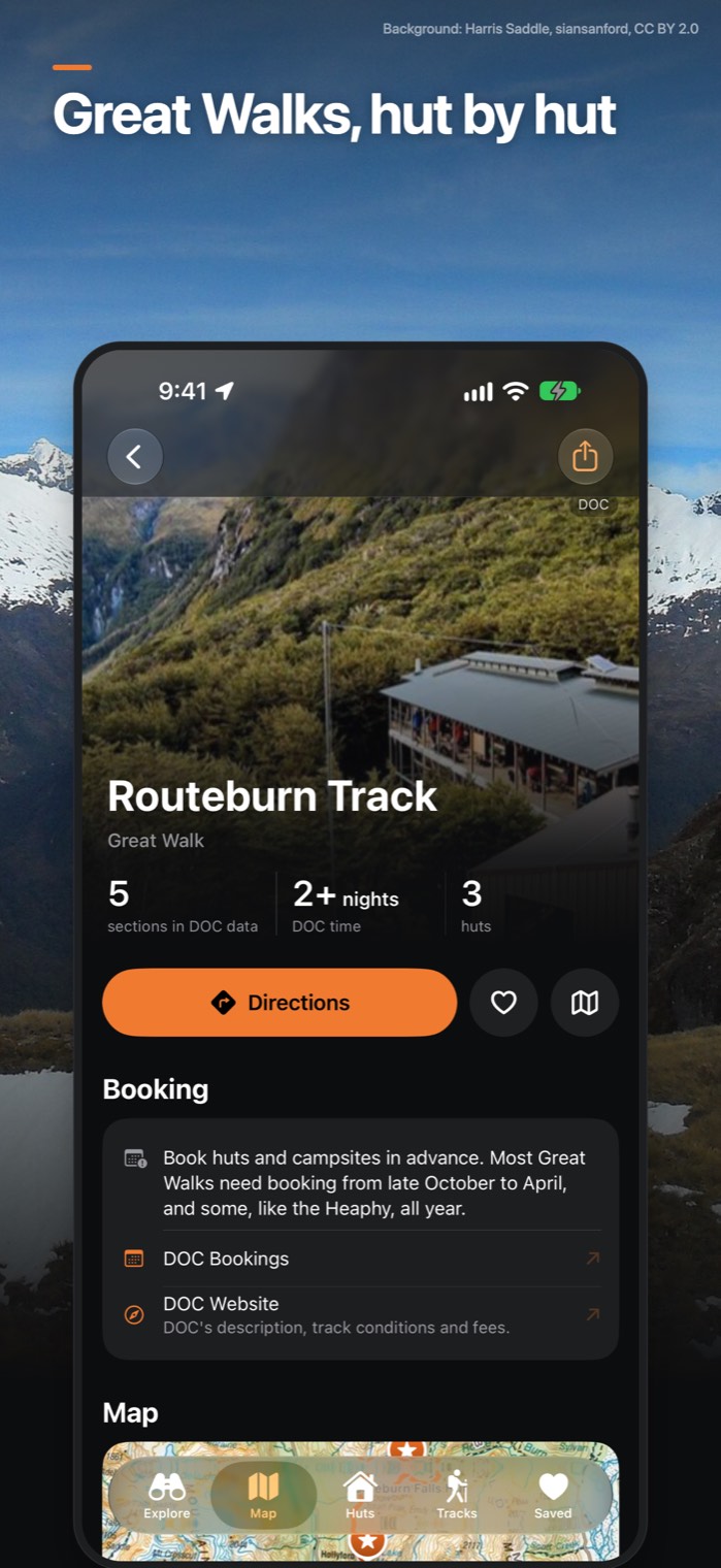
The whole DOC hut and track network on your iPhone, ready for when the signal drops out.
What it does
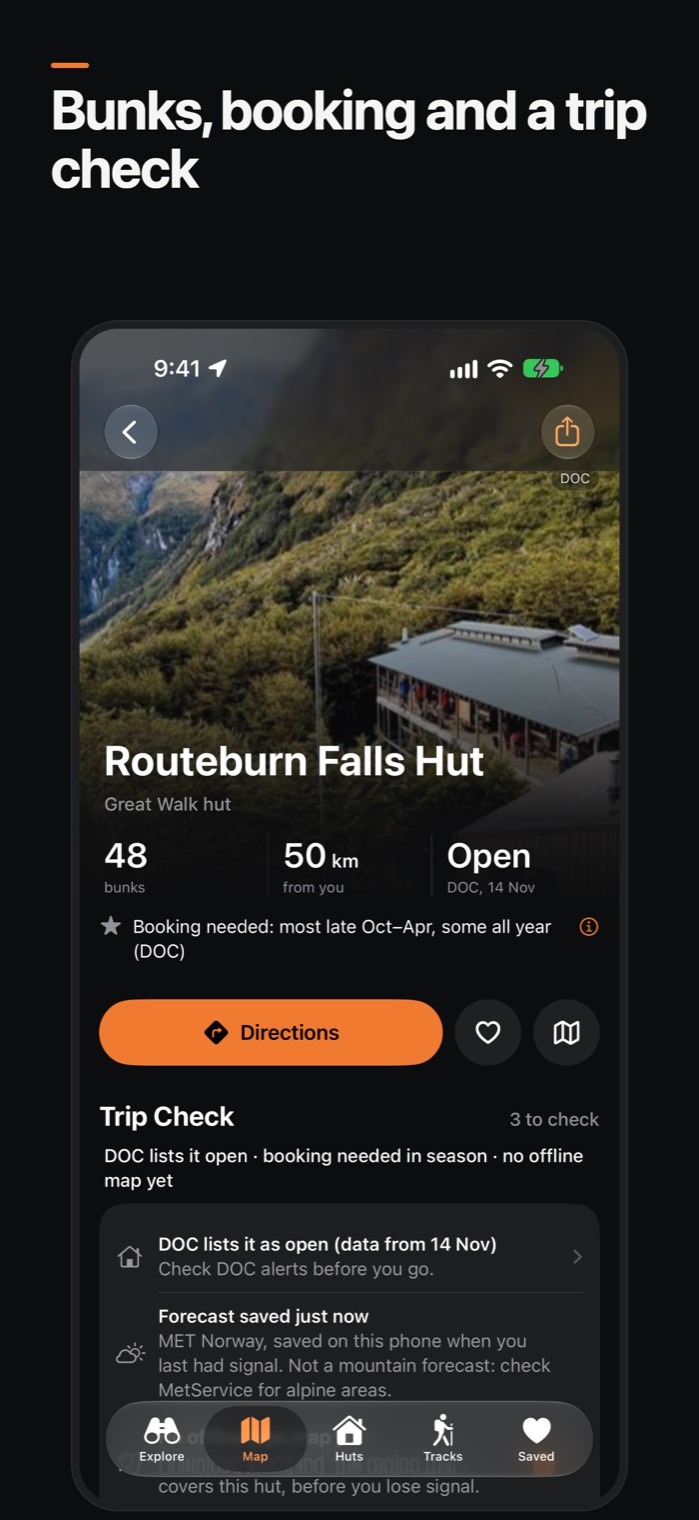
About 950 huts
DOC photos, bunks, facilities and status.
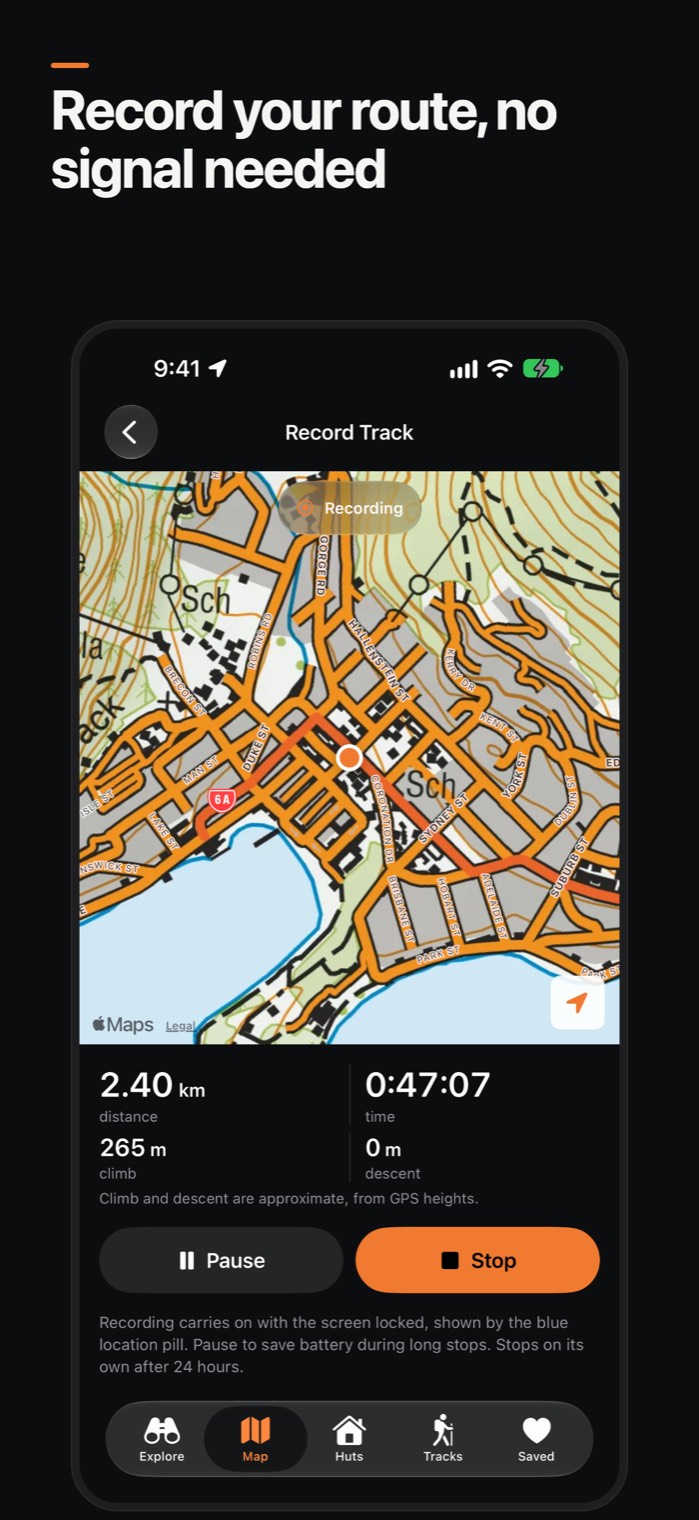
About 3,200 tracks on the map
Length, duration and track type.
A trip check on every hut and track
Daylight left, distance, and whether your map and forecast are saved.
Elevation profiles
Total climb and descent, highest point and steepness.
Offline LINZ topo maps
For popular tramping areas. Your first area is free.
12-hour forecast for any hut or track start
Saved for when you're out of signal (MET Norway).
Information
Price
Free to download and use. A one-time unlock adds every topo map area, elevation profiles and Saved. There's no subscription, no ads and no account to make. The unlock works with Family Sharing.
Privacy
The apps don't use accounts, analytics, advertising or tracking. Your location is never sent to us. Privacy policy
Help
Email info@stsolutions.nz with the app and iPhone you're using. Support
Good to know
- Topo maps need downloading on a connection before you go. Elevation figures are approximate. Always check DOC alerts and carry a paper map.