
Campsites, dump stations and water near Murchison
Nelson Tasman, South Island
The closest DOC campsite is Lake Rotoroa Campsite, 23 km east.
Camp Spots NZ for iPhone. The same campsites, dump stations, water and toilets on your iPhone, with no signal needed.
Straight-line distances. Counted within 50 km for DOC campsites, 25 km for other campsites and 25 km for huts.
DOC campsites
 Lake Rotoroa CampsiteStandard, fee charged23 km
 Lyell CampsiteStandard, fee charged23 km
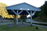 Kawatiri CampsiteStandard, fee charged27 km
 Angelus Hut CampsiteBackcountry, fees vary, check DOC, no car access36 km
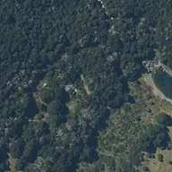 Blue Lake CampsiteBackcountry, fees vary, check DOC, no car access40 km
All 11 DOC campsites near Murchison
Within 50 km, nearest first. Fees and facilities are DOC's. Check DOC alerts before you go. Aerial: LINZ, CC BY 4.0.
Holiday parks and other campsites
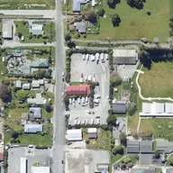 Murchison NZMCA ParkIn Murchison, freedom camping, NZMCA160 m
 Kiwi ParkSouth, holiday park970 m
 Riverview Holiday ParkNortheast, holiday park, fee charged, customers only, powered sites, showers, caravans1.4 km
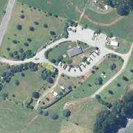 Murchison Motorhome ParkNortheast, campground, caravans7.5 km
 Maruia Falls Carpark (self contained only)Southwest, freedom camping8.9 km
All 6 other campsites near Murchison
Within 25 km. Freedom camping rules are set by each council, and most places need a certified self-contained vehicle. Since 7 June 2026 only green self-containment warrants count. Check local signs. Aerial: LINZ, CC BY 4.0.
Public toilets
- Public toiletIn Murchison, free20 m
- Public toiletIn Murchison440 m
- Public toiletSouthwest, free8.9 km
- Public toiletSouthwest8.9 km
Within 10 km.
Fuel stations
- MobilFuel station with LPG, LPG, diesel (in Murchison)90 m
- RD PetroleumFuel station (in Murchison)160 m
Within 30 km. Fuel and LPG © OpenStreetMap contributors (ODbL). Coverage from OpenStreetMap volunteers is incomplete. Places that swap or refill gas bottles may be missing, and what a place sells can change. Call ahead if you need gas.
LPG and gas bottles
Within 30 km. Fuel and LPG © OpenStreetMap contributors (ODbL). Coverage from OpenStreetMap volunteers is incomplete. Places that swap or refill gas bottles may be missing, and what a place sells can change. Call ahead if you need gas.
DOC huts
 Lake Matiri HutStandard, 8 bunks16 km
 Ghost Lake Hut 3POStandard, 18 bunks18 km
 Stern Valley Hut 3POStandard, 10 bunks18 km
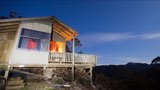 Lyell Saddle Hut 3POStandard, 11 bunks21 km
 Poor Pete's HutBasic / Bivvy, 2 bunks21 km
Within 25 km. Hut details are DOC's. Most huts are reached on foot.
Walks and tracks starting nearby
- Skyline Walk0.7 km, 1-4 hours, walking track970 m
- Johnson Creek Track2.1 km, 1-4 hours, tramping track5.7 km
- Maruia Falls Track0.1 km, under 1 hour, short walk8.9 km
- Six Mile Walk1.9 km, 1-4 hours, walking track9.5 km
- L. Matiri Track2.8 km, 1-4 hours, tramping track11 km
- Eight Mile Track1.6 km, tramping track12 km
- L Matiri Track4.8 km, 1-4 hours, tramping track13 km
- Tiraumea Track14 km, tramping track14 km
DOC tracks whose start is within 25 km. Times are DOC's.
Other places nearby
Lists for the whole country
Location of Murchison: LINZ NZ Gazetteer (Murchison, town), CC BY 4.0. Campsite and hut data from DOC, 14 Nov 2026. Holiday parks, other campsites and facilities from OpenStreetMap, 14 Nov 2026. From OpenStreetMap, which volunteers build. It may be incomplete or out of date, so check signs on arrival.